
Marblehead Neighbor Records by Block
Marblehead neighbors appear in several public record layers, each with a narrow purpose. Marblehead AxisGIS shows the parcel shape, street position, and enabled map layers. The Patriot Properties assessment roll supplies an assessed owner, location, parcel identifier, land-use code, value, sale reference, and other parcel facts. Southern Essex Registry of Deeds adds the ownership trail and legal land description. These sources can identify adjoining lots and public owners. They cannot establish every person who lives at an address.
| Block source | What it can establish | Access route |
|---|---|---|
| AxisGIS parcel viewer | Lot boundaries, streets, adjacent parcels, and enabled map layers | Free online viewer; Town Engineer provides abutter maps |
| Patriot Properties | Assessed owner, parcel, situs, value, use, sale and Book Page fields | Free street or parcel query |
| Salem Deeds | Grantor, grantee, recording data, legal description, and plan references | Free index search; copies or downloads may carry charges |
| Marblehead voter file | Permitted voter fields at nearby addresses, subject to exclusions | Request from the Town Clerk |
| Historical directories and maps | Past address occupants, building footprints, and local business clues | Library, Museum, State Library, and map collections |
Start with the lot boundary, then document the source behind any name. An assessor owner may be a trust, an estate, a town department, or a business. A mailing address can differ from the parcel's situs address. A deed records an interest in land, not day-to-day occupancy. Those distinctions prevent a quick block lookup from turning into an unsupported claim about Marblehead neighbors.
Select Marblehead Neighbor Parcels
The adjacent-parcel method starts on the map, not with a surname. Open AxisGIS, find the target location, and select the parcel that contains it. Record the parcel ID and assessment reference before moving to each touching lot. The Town Engineer also links residents to assessor, abutter, zoning, survey, street, and flood maps. If the online view does not give enough detail, an abutter map from the engineering office is the documented fallback.
- Find the target location in AxisGIS and note its parcel identifier, situs, and visible lot lines.
- Move one adjoining parcel at a time. Record its map position, parcel ID, and linked assessment reference.
- Open the assessor result for the public owner, land-use code, value, sale fields, and Book Page reference.
- Use the Registry address, name, plan, or book-and-page search when a deed relationship needs confirmation.
- Keep a source URL and inspection date for each row. A shared driveway or rear line does not prove a shared household.
AxisGIS was documented as a parcel viewer, but the research could not verify the current labels for every selection, measure, or layer control. Use only controls visible in the live viewer. For a complete named-street record trail, the Marblehead by-street directory follows the address chain beyond the immediate block.
Note: The online map is the first geography check; the Town Engineer's abutter-map service is the reliable fallback when parcel edges need formal confirmation.
Build a Marblehead Neighbor Worksheet
A simple worksheet keeps nearby parcels separate and makes later verification easier. For each lot, retain the map relationship, parcel ID, situs, assessed owner, land-use code, total value, and any visible plan or deed reference. The research advises a one-row-per-parcel approach because an organization, public body, trust, or estate can own a lot. Do not convert that owner field into a list of residents.
| Worksheet field | Why it matters |
|---|---|
| Map position | Shows whether the parcel shares a side, rear line, corner, or only a nearby street segment. |
| Parcel ID and situs | Connects the map selection to the assessment record and physical location. |
| Assessed owner | Names the assessment owner, which may differ from an occupant or mailing recipient. |
| Plan or deed reference | Provides the land-record key when a street number fails or a lot changed shape. |
| Permit or date clue | Can date a physical change without identifying a resident. |
Patriot's visible results include Location, Owner, Parcel ID, Built, Type, Total Value, Beds, Baths, lot size, finished area, land-use code, Description, Neighborhood, sale date, sale price, and Book Page. Mailing address was not visible in the captured result. Confirm any mailing or detail-only field with the Assessor rather than assuming that an assessment result proves an owner lives on the parcel.
Marblehead Neighbor Voter Boundaries
Massachusetts has a voter-status check for a person checking that person's own registration. It is not an unrestricted statewide neighbor list. For a local file, Marblehead's Town Clerk is the municipal custodian. State guidance says ordinary voter information can include name, residence address, party, date of birth, active or inactive status, and voter ID. Additional permitted data can include registration date, prior changes, mailing address, and elections voted, but not how anyone voted.
Phone numbers, email, veteran status, permanent-absentee status, confidential-voter records, and minors' records are not public. Protected voters may be absent from ordinary lists or represented by a special number. An inactive status is also not proof that someone left town. It can result from the annual street-list process. Ask the election office for the permitted record, and treat it as a dated registration record rather than a complete roster of Marblehead neighbors.
Public-record boundary. Use a narrow, documented request to the Town Clerk for permitted voter information. Do not seek protected fields or use any record to repeatedly contact, watch, intimidate, or harass another person.
Marblehead Neighbor Association Clues
A Town neighborhood-association inventory identifies five organizations. They add civic geography to a block search, but the official inventory does not publish member names, a joining process, or a complete community roll. Use an association name to understand the part of town around a parcel. For current contact details, verify the association's own channel rather than treating a neighborhood label as evidence that someone belongs to it.
| Town-named association | Area clue | Verified directory status |
|---|---|---|
| Clifton Improvement Association | Clifton | Town identification only; no public member directory located |
| Marblehead Neck Association | Marblehead Neck | Town identification only; no public member directory located |
| Old Marblehead Improvement Association | Old Marblehead | Town identification only; no public member directory located |
| Powder House Association | Powder House area | Town identification only; no public member directory located |
| Shipyard Association | Shipyard area | Town identification only; no public member directory located |
The Town's neighborhood-association inventory is shown in this capture.
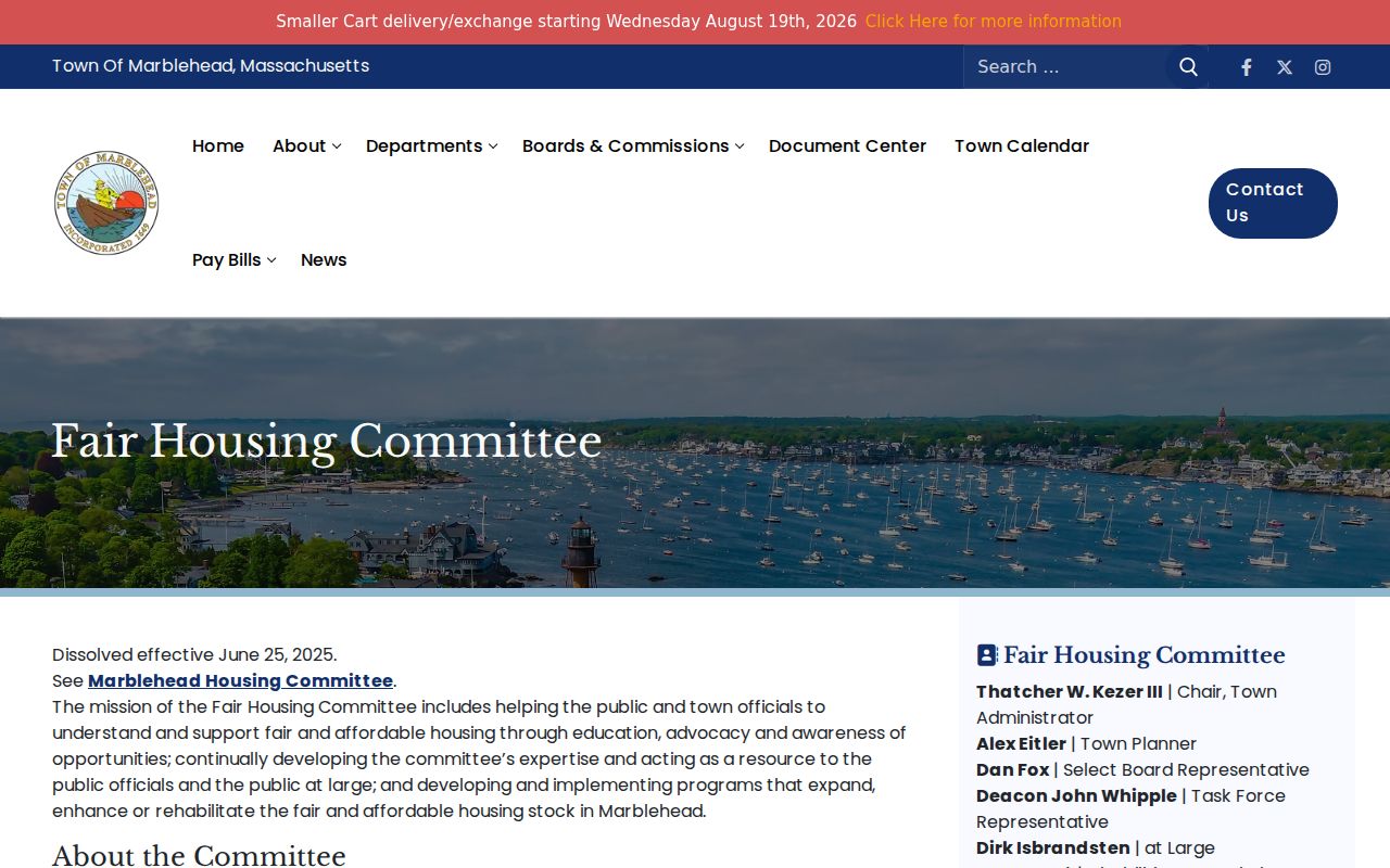
The image supports a neighborhood-orientation step, not a claim that any association supplies a resident list. The same Town source recognizes religious, civic, and social groups, while the Chamber directory is a separate business-oriented resource.
Historic Marblehead Neighbors by Map
Past blocks need a different method. Choose a Sanborn map year, locate the street segment and building footprint, then compare the street or householder section of a historical directory with a newspaper search. Marblehead sources identify Sanborn years for 1885, 1890, 1896, 1901, 1908, 1915, 1926, and 1949. A map shows the building and lot context. A directory supplies a dated address-to-name snapshot. The Registry supplies ownership, while census schedules provide household context through the public 1950 release.
Marblehead's early newspaper archive is free online for 1871 through 1976. The Reporter after 1976 and a clipping file from 1900 forward are generally library resources because of copyright. Abbot Library's Marblehead Room also holds maps, town reports, yearbooks, local histories, and genealogies. That mix helps distinguish a former business, a boarder, an owner, or a family connection without forcing old records into a modern neighbor list.
Compare Marblehead Neighbor Sources
Official sources make their scope visible. A parcel map shows geography, an assessment record names an assessed owner, a deed provides a documented land transfer, and a municipal voter request carries stated privacy limits. A commercial neighbor compilation can combine older public and marketing data, but it may merge names, retain a stale address, or connect an unrelated parcel. Keep official records as the source for a claim that matters.
| Source type | Strength | Limit to keep in view |
|---|---|---|
| Official GIS and assessment records | Direct parcel geography and current assessment fields | Owner field is not an occupancy finding |
| Registry deed index | Dated land transfer and legal-description trail | Land interest does not identify every resident |
| Municipal voter request | Permitted voter data from the local custodian | Protected, confidential, and nonpublic fields remain closed |
| Commercial compilations | May offer a starting lead | Can be stale, merged, or unclear about provenance |
Note: A strong Marblehead neighbor result identifies the parcel, the record date, and the custodian before it identifies a person.
Map a Marblehead Neighbor Block
Use this process only for the immediate block around one address. First select the parcel in AxisGIS. Next, list adjoining parcels in a worksheet and open their assessment results. Then follow a Book Page, owner, plan, or legal-description reference into Salem Deeds when the ownership sequence matters. Finally, use the documented municipal route for a permitted voter record or a library source for an older address question. The source chain remains clear at every step.
Do not substitute a homestead or exemption flag for proof that someone currently resides there. The research says these can show an assessment status, not the full people living at a property. The Town Engineer's abutter map, the Assessor's parcel detail, Registry customer service, and the Town Clerk's records routes are the appropriate fallbacks when an online result is incomplete.
Marblehead Neighbor Privacy Limits
Some information stays private even when land and map records are open. Utility customers, motor-vehicle address data, every household member, confidential voters, minors, and protected residents do not become public merely because a nearby parcel is visible. Massachusetts Address Confidentiality Program participants can use a substitute address and mail-forwarding arrangement. M.G.L. c. 66, § 10B also protects home address, telephone, and email information for specified public-safety, judicial, and protected-person categories.
For a personal block question, use the narrowest official record that answers it. Keep record copies private, avoid unnecessary sensitive details in a public-records request, and confirm uncertain entries with the custodian. Massachusetts anti-stalking and criminal-harassment statutes, M.G.L. c. 265, §§ 43 and 43A, apply even when a source is public.
Lawful use. Marblehead neighbor records can support civic curiosity, reconnecting, and property history. They must never be used to stalk, harass, intimidate, or harm anyone.