
Marblehead ZIP Code Coverage
The verified postal ZIP in the research for Marblehead, Massachusetts is 01945. It is the ZIP shown for Marblehead postal addresses and for the local USPS retail facility. That is a postal finding, not a claim that the code creates a legal town boundary or identifies every address a historic record may use. No second local PO-box-only or institution ZIP was verified in the reviewed official sources, so a careful ZIP code directory lists only the code that can be supported rather than adding a number from an old label.
| Postal ZIP | Confirmed Marblehead use | USPS facility | Record caution |
|---|---|---|---|
| 01945 | Marblehead postal addresses documented by USPS | Marblehead Post Office, 27 Smith Street, Marblehead, MA 01945-9998 | Exact boundary exceptions and ZIP+4 details require address-level USPS verification. |
The USPS Marblehead Post Office record supplies the facility address and postal code. Its posted retail schedule can change, so it is better to check the current USPS listing than to rely on a copied schedule. A ZIP code helps route mail; it does not replace the town Assessor's parcel location or a deed's legal description.
Confirm 01945 With USPS First
Use the USPS ZIP Code Lookup with the complete street address, including a unit or directional when one is part of the delivery address. USPS is the authority for the deliverable ZIP and postal city label. Save the returned form exactly, then compare it with the parcel's situs location and the municipality or legal description in the land record. This Marblehead ZIP code directory approach avoids treating an incomplete historical address as a current delivery address.
The USPS lookup screen shows the address-to-ZIP process used to verify a Marblehead ZIP code directory entry.
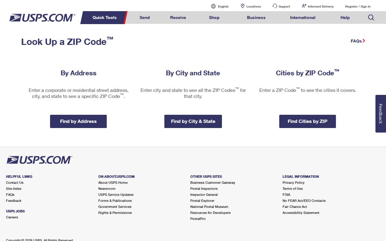
A result from this form settles postal delivery information, while town and Registry sources answer separate parcel and ownership questions.
There is also a city-and-state route for checking a postal place name. It is useful for a quick label check, but it should not be used to infer an address that was never entered. A full address remains the more reliable starting point when the next task is finding a parcel, a deed, a district, or a past household.
Note: Keep apartment, unit, and directional details with the USPS result because a shortened address can return a less precise postal match.
Use a Marblehead ZIP Code to Narrow Records
A ZIP can focus an address check, but it is not a ZIP-wide resident roll. Begin with USPS, then move to the custodian that maintains the next fact. The Marblehead Assessor's Patriot Properties search provides parcel and owner fields, while AxisGIS supplies map context. The voter tool uses a residential address to return polling and district information. Those systems serve different purposes, and none is evidenced as an unrestricted search of everyone in 01945.
- Enter the full address in the USPS lookup and retain the returned ZIP and postal-city form.
- Search Patriot Properties by street, owner, neighborhood, or parcel to identify the assessed parcel and its situs location.
- Use Marblehead AxisGIS to place that parcel among nearby lots, street geometry, and enabled town map layers.
- For a voting-place or district question, enter the residential address in the official state tool, not a separate tax mailing address.
- When a ZIP has narrowed the search to a street, use the Marblehead by street directory for the address-keyed record chain.
Patriot's documented results show Parcel ID, Location, Owner, construction and value fields, land-use data, sale date, sale price, and Book Page. The captured result fields do not establish a ZIP filter. Searching a ZIP there as though it returned an entire postal area would overstate what the portal shows. Confirm the parcel detail or contact the Assessor if a needed field is not visible.
If a USPS result and a Patriot location seem to conflict, preserve both results and check the recorded land description before deciding that there is an error. The Town Assessor supplies the assessment layer, while the Registry controls the recorded instrument. A ZIP-only search cannot settle a parcel question. For map context, the Town Engineer's office also provides assessor, abutter, street, zoning, survey, and flood maps when an online parcel view does not answer the address question.
Marblehead ZIP Code Voting Check Fields
The official Massachusetts Where Do I Vote tool is the ZIP-capable local route documented in the research. It accepts a street number, street name, suffix, and city/town autocomplete or ZIP. It requires the residential address, not a mailing address, and returns polling-place and district information. It is useful confirmation after a ZIP check, not a public resident directory.
| Input or result | How it is used | Important limit |
|---|---|---|
| Street number | Identifies the residential location | Use the full residence form, not a tax mailing address. |
| Street name and suffix | Distinguishes similarly named roads | Retain USPS spelling where possible. |
| City/town or ZIP | Routes the address check | A ZIP is a route field, not proof of municipal limits. |
| Polling and district result | Answers an election-geography question | It does not identify all people who live in that ZIP. |
For a person's own registration status, Massachusetts uses a separate first name, last name, date of birth, and ZIP workflow. Marblehead's full municipal voter file is held by the Town Clerk and is requested through the permitted local route. State guidance excludes confidential voter information, minors' records, phone, and email fields. An inactive status is not evidence that a person moved away.
Marblehead ZIP Code Boundaries Are Not Town Lines
MassGIS five-digit ZIP polygons are useful for mapping and analysis, but the state warns that USPS does not maintain ZIP boundaries in the same way a municipality maintains parcel geography. The reviewed sources did not locate an official crosswalk proving every 01945 edge or a particular neighboring-town exception. The supportable conclusion is narrower: 01945 is the locally verified postal ZIP, and exact deliverability must be checked by address.
When those fields diverge, keep each one with its source. USPS controls delivery. The Assessor and AxisGIS identify the town's parcel location. The Southern Essex Registry address search ties a recorded document to its municipality and legal description. This comparison prevents a postal label from being mistaken for a title finding.
Four Marblehead ZIP Code Address Keys
Old directory and deed research often works only after the address type is named correctly. A street label may be clear enough for the post office while the land record uses a plan or bounds description. Treat each field as a separate key instead of copying one label into every search form.
- ZIP code
- A USPS routing label for a deliverable mailing address. It is not a town-boundary certificate.
- ZIP+4
- An added delivery-segment detail that USPS verifies for the complete address. No Marblehead ZIP+4 pattern was verified in the research.
- Situs address
- The physical parcel location used by assessment, GIS, permits, and many modern deeds.
- Mailing address
- The place used for tax or other correspondence. It can be different from the parcel location.
- Legal description
- The recorded land identity, such as a lot, plan, bounds, or parcel reference, used when a postal address is absent or changed.
- Carrier route
- A postal delivery grouping. The reviewed sources did not document a Marblehead carrier-route resident search.
No verified Marblehead PO-box-only or unique institution ZIP was found. That absence matters. It is safer to ask USPS for a specific address result than to fill a ZIP code directory with an unconfirmed secondary code.
Marblehead ZIP Code Research Needs Neighborhood Clues
Postal geography is only one layer of Marblehead location research. The official preservation material identifies Clifton, Marblehead Neck, Old Marblehead, Powder House, and Shipyard areas, along with a narrow street network and peninsula or island terrain. Those names can make a historical directory, map, or deed easier to recognize even when the modern ZIP is the same. They should be treated as geographic clues, not as separate ZIP coverage claims.
The same source identifies Sanborn map years of 1885, 1890, 1896, 1901, 1908, 1915, 1926, and 1949. A map footprint, adjacent lot, street name, and directory entry can bridge an old address to a modern parcel more responsibly than a ZIP alone. No official townwide renumbering or annexation schedule was found, so an older failed address search calls for map and deed comparison rather than an assumed conversion date.
What a Marblehead ZIP Code Cannot Prove
A ZIP code does not establish the current people at an address, a property's legal owner, every person in a household, or a municipal boundary. The Massachusetts voter-status tool is a status check with protected information and local-file limits, not a single unrestricted statewide resident roll. Patriot assessment data identifies assessed owner and parcel characteristics, but an owner or a mailing address cannot be converted into a claim about every occupant.
Utility customer lists are not ordinary public directories. Protected voters, ACP participants, and people covered by record-specific restrictions may be missing from public-facing material. Use the narrowest official source for a defined question and never use a postal or public-record result to harass, track, or harm a person.
Note: For a historic resident question, pair the address with a dated directory, newspaper, map, or deed rather than relying on the current postal code.