
Marblehead Previous Residents by Record Era
Different records answer different parts of a past-resident question. The Southern Essex Registry follows ownership and land description. Directories and census schedules help identify households at an address. Newspapers, maps, permits, vital records, and probate can explain the gap between those snapshots. The dates below are source coverage, not a promise that each record is online or that every result names a resident. Use the era closest to the event first, then connect it to the surrounding sources.
| Record layer | Marblehead date span | Access channel | Useful address evidence |
|---|---|---|---|
| Southern Essex Registry | 1640 to present; older unindexed bands vary | Salem Deeds, Beverly or Salem office, written request | Grantors, grantees, deeds, plans, liens, book/page, and legal descriptions |
| Assessor parcel roll | Current FY2026 roll; 2023 official counter-listing sample | Patriot Properties and Assessor office | Parcel ID, current assessed owner, situs, value, land-use, and sale-reference fields |
| City directories | 1873 through 1980 in irregular State Library runs | Museum, State Library, Salem Public Library, Abbot resources | Address and name snapshots, often with occupation or business information |
| Newspapers and clippings | 1871 to 1976 online; later Reporter and clipping collections continue in-library | Abbot digital archive and Marblehead Room | Notices, obituaries, organizations, business activity, and address clues |
| Federal census | Public schedules through 1950 | National Archives and library databases | Household context, relationships, age, birthplace, and occupation |
| Sanborn maps | 1885, 1890, 1896, 1901, 1908, 1915, 1926, 1949 | Local historical references and Library of Congress collection | Footprint, use, street geometry, and an address-continuity bridge |
For a recent transfer, begin with the parcel and deed. For a nineteenth- or twentieth-century household, a directory, newspaper, or map may be the better first entry. A deed can establish an interest in land, but it does not by itself establish that every named party lived at the property.
Start Marblehead Previous Residents With a Parcel
Open the Marblehead Patriot Properties search with the current street, owner, neighborhood, or parcel information. Record the Parcel ID, Location, assessed owner, sale date, sale price, Book Page if shown, and any legal-description or plan clue. Patriot's documented result fields also include construction, type, total value, beds, baths, lot size, finished area, land-use code, description, and neighborhood. Those fields anchor an address to a particular parcel before the historical trail starts.
Owner, situs, and mailing address are not interchangeable. The situs is where the parcel sits. An assessed owner may be a trust, estate, business, town body, or individual. A mailing address is where tax correspondence is sent and may be elsewhere. The captured Patriot result table did not expose a mailing field, so confirm it on a parcel detail view or with the Marblehead Assessors Office rather than treating a search result as proof of occupancy.
AxisGIS and the Town Engineer provide another check when lot lines, adjacent owners, or street form matter. The current map interface is useful for parcel geography, while the Engineer can supply assessor, abutter, zoning, survey, street, and flood maps if the online view is not enough. A prior number may belong to a subdivided piece of a later parcel, which is why the plan reference is as important as the street label.
Note: Save the parcel ID and source date before changing search terms because each later deed or directory finding needs a stable property reference.
Trace Marblehead Previous Residents Through Deeds
The Southern Essex recorded-land address search is the main ownership trail for Marblehead. Its documented address form uses street name, from date, through date, and city or town, while street number is optional. Once the most recent purchase instrument is open, the grantee identifies the buyer and the grantor identifies the seller. Search the seller as a grantee to find that person's earlier acquisition, then repeat the comparison with the legal description and plan reference beside the name.
- Use the current parcel record to collect the situs, assessed owner, Book Page, sale reference, and any plan or lot clue.
- Search the current address in Salem Deeds with Marblehead selected and a manageable date range, then open the newest purchase deed.
- Write down the instrument type, recording date, grantor, grantee, book/page or document number, legal description, and plan reference.
- Search the deed's grantor as a grantee, with the town and surrounding date period, to find the prior acquisition deed.
- Repeat until the chain reaches a larger parcel, an address gap, a date band with different index access, or a record that needs office help.
- Grantor
- The party transferring an interest in land in the recorded instrument.
- Grantee
- The party receiving that interest. A prior grantee search often continues a chain backward.
- Chain of title
- The connected sequence of recorded land transfers for the same property, checked with dates and legal descriptions.
- Legal description
- The land identity in a deed, such as lot, plan, bounds, or parcel reference, which can outlast a street number.
- Criss-cross directory
- A street or householder section that starts with an address, then points back to a name listing.
- Enumeration district
- A census geography used to organize an enumerator's work. It can help place a household when address text is weak.
A mortgage discharge is financing evidence, not a land transfer. A municipal lien certificate, foreclosure item, probate filing, trust, or corporate owner can explain a break that a simple seller-to-buyer sequence misses. Use document-type and plan modes instead of assuming every index hit is a deed.
When a Marblehead Address Drops Out of Search
Older instruments often omit a modern street number. The land may be described by a plan, lot, bounds, a nearby owner, or a larger parent parcel. Search the former owner, book and page, plan, legal description, neighboring owner, and a broader town-date range. Use the Registry's name, date, document-type, book/page, registered-land owner, certificate or document-number, and plan search modes when the address field fails.
Marblehead's historic streets, subdivisions, changing property descriptions, and neighborhood development make address continuity a real research problem. The official preservation material records changing maps and Sanborn years but did not locate a universal street-renumbering or renaming schedule. Do not invent a conversion date. Bridge the gap with street names, landmarks, adjacent owners, business names, plan references, and the map footprint.
The Marblehead Historical Commission research page links the local materials that help reconstruct a house history, including maps, deeds, directories, newspapers, vital records, and the town deed.
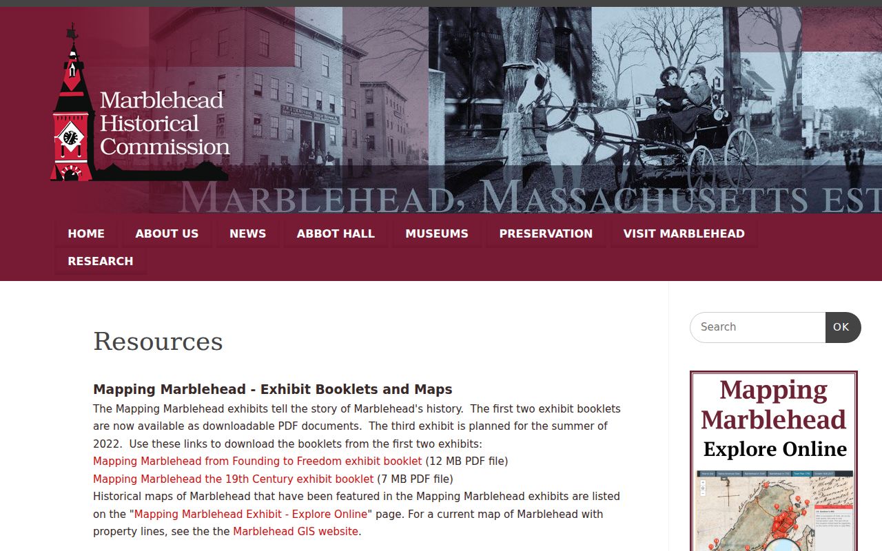
These linked collections create a documented fallback when a modern address has no direct historical match in an index.
Marblehead Previous Residents and Registry Date Bands
The Registry reports overall land-record coverage from 1640 to the present, but its online and indexed experience is not one uniform run. The research identifies older date bands of 1640 to 1799, 1800 to 1854, 1855 to 1950, 1951 to 1963, and 1964 to 1978. The public material did not verify a single searchable-image cutoff for every instrument, so a missing web result does not establish that the transfer never happened.
Use Salem Deeds first, then follow the fallback chain: Registry customer service, the Beverly office, the Salem civil-process office, book/page or plan tools, and a written public-record request when ordinary online access does not meet the need. The Registry's public-records request guidance identifies the written-request route. Ask for a defined instrument, date range, book/page, plan, or record series rather than an open-ended request for every past resident of an address.
The Registry search itself is free, while copies and certification follow its published fee schedule. The difference is practical: inspect the index and image availability first, then decide whether an official copy is needed for estate, heir, or house-history work. A scanned result should still be noted by its book/page or document number.
Past Marblehead Households in Directories and Census
Ownership is only half of the question of who lived here before. Marblehead directory holdings run from 1873 through 1980 in irregular State Library holdings, with Museum, Salem Public Library, Abbot, HeritageQuest, and subscription access filling different portions of the run. A combined Salem-area volume can include separate Marblehead name, street or householder, business, government, and advertisement sections. A volume titled for Salem does not exclude Marblehead.
For each dated address, follow this household flow: street or householder entry to alphabetical name entry, then a nearby directory year, then the closest public census schedule, then a newspaper result for the address or name. The census has household, relationship, age, birthplace, and occupation context, while the directory is more address-specific and can be closer in time to a move. The latest public federal census is 1950. The collections themselves are detailed on the Marblehead city directories page.
Abbot's free Marblehead Messenger and Reporter archive covers 1871 through 1976. The Reporter from 1977 onward and the clipping file from 1900 onward are generally available in the Marblehead Room because of copyright limits. A newspaper notice can date an organization, death, business, sale, or address clue, but it should be compared with the directory and property record rather than used alone.
Note: Record the image or page number for every directory and newspaper result so a same-name finding can be checked against the original source.
Marblehead Previous Residents Need Map Years
Sanborn maps can resolve a building or lot question that an index cannot. The local map years are 1885, 1890, 1896, 1901, 1908, 1915, 1926, and 1949. Compare the building footprint, use, street geometry, nearby businesses, and adjoining lots with a directory street entry from the same period. A map may show the building before an address is consistently indexed or reveal a subdivision that explains a new parcel ID.
This is where a dated source comparison is stronger than a single modern result. A 1915 footprint paired with a 1913 to 1922 directory entry and a newspaper notice can support continuity for a property even when a later street number does not occur in the early record. The map supplies geography, the directory supplies an address or name snapshot, and the deed supplies land identity.
Marblehead Previous Residents and the Permit Era
Building records can date changes to a house, but the applicant on a permit is not necessarily an owner or occupant. Marblehead began online Viewpoint Cloud permitting around spring 2020. Town reports describe public viewing of planning, zoning, building, fire, electrical, plumbing, permit-fee, inspection, complaint, and related data. That makes Viewpoint a useful date layer for a recent alteration, not a complete historic resident source.
The live Viewpoint interface returned a 403 response during research, so its current field list was not verified. For a pre-Viewpoint file or an unavailable portal result, call Marblehead Building Inspection at 781-631-2220 to make a file-review appointment. The department's official building-inspection page is the reliable contact route. A permit can identify project timing, but it must not be treated as proof that the applicant lived at the address.
Marblehead's Deep Deed Record Story
Marblehead's recorded-land history has an unusually early local reference point. A September 16, 1684 deed from Naumkeag heirs covered 3,700 acres for 16 pounds. The original is displayed in Abbot Hall, and the Historical Commission reports that it was copied in Southern Essex Registry Book 7, Page 1 and following pages. It is a useful reminder that the current deed index is part of a much older record system, even though modern search behavior is not the same for every historical volume.
The Registry's 1640-to-present coverage and the State Library's irregular Marblehead directory holdings from 1873 through 1980 create two different long-run trails. Land records can run far earlier than household snapshots. The contrast helps set expectations: a property may have an old deed sequence without a matching directory or census address for every era.
Where Marblehead Previous Residents Trails End
A final address appearance can lead to an obituary, cemetery record, vital record, or probate file. Use the Town Clerk for Marblehead event certificates, Massachusetts RVRS for statewide copies and restricted current records, and the Massachusetts Archives for historical material from 1841 through 1935. Birth and marriage records more than 90 years old and death records more than 50 years old are outside the M.G.L. c. 46, § 2A restricted period, but that does not place every image online.
Essex Probate can add heirs, fiduciaries, estate property, and relationship references. Current cases from 2009 forward can often be checked through MassCourts, while historic Essex resources include the 1882 to 1917 index, docket books from 1638 to 1916, record-book series, and file papers through 1881. For older or unavailable material, use the Probate Court clerk or Court Archives request route. An obituary or probate mention is a historical endpoint, not evidence of a current address.
Massachusetts protections can limit what appears in records, including protected voter information, ACP substitute-address use, court restrictions, and source-specific vital-record rules. A missing result may reflect a custody or privacy limit, not a conclusion about the person.